-
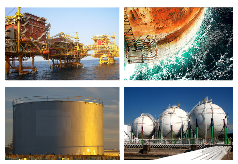
Oil rig inspection – detection of rust, corrosion, wear and tear, and structural integrity
-
Structural integrity – surveys include storage tanks, gantries, walkways; cracks, rust, corrosion can be determined
-
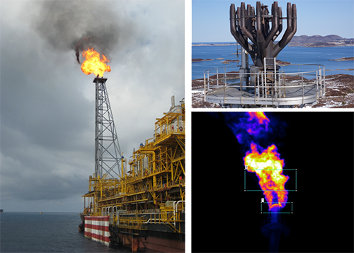
Flare tip – allows tip monitoring without halting operations; UAV to capture close up image of tip; thermal camera to be utilized
-
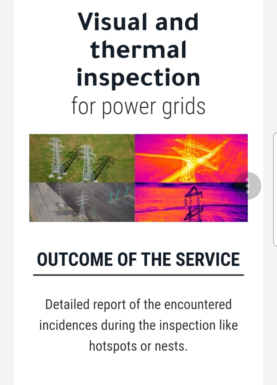
Pipeline inspection – UAV to detect leakage or crack with infrared camera; miles of pipeline can be covered in a short time
-
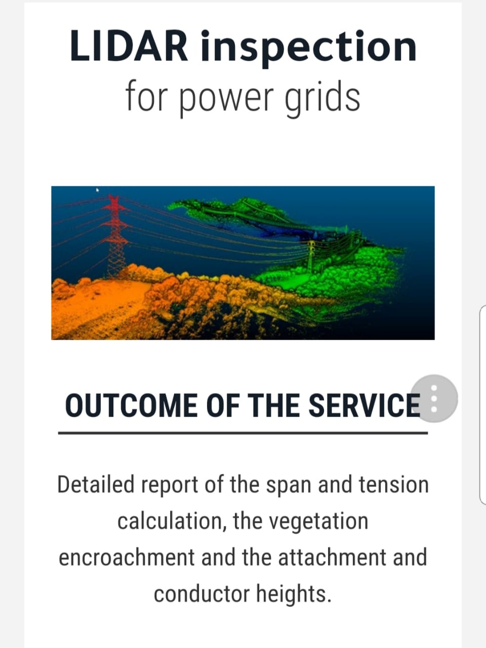
Flare stack – inspection include the tips, supporting structure and pipe work; can be done monthly for known issues or annually for regulation commitment
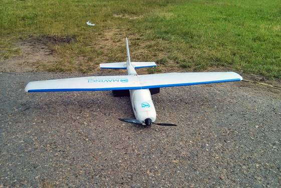
Unmanned Aerial Vehicles – Oil and Gas
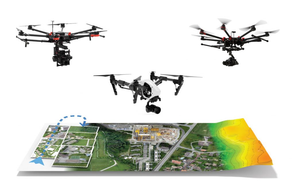
ROAV Services in Oil and Gas
UAV Photogrammetry Workflow
-
Capture
- Preparation
- Take-off/Flight/Landing
- Data Checking
-
Process
-
Analyze
-
Share
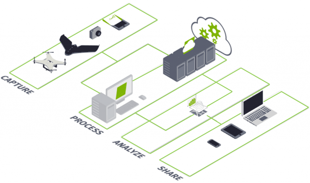
Capture: Preparation
-
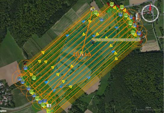
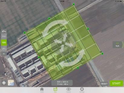
Plan your flight at your desk before take-off
-
Select the area to be surveyed
-
Calculate the flight paths taking into account the required altitude, terrain, and battery life
Large areas are automatically split into multiple flights
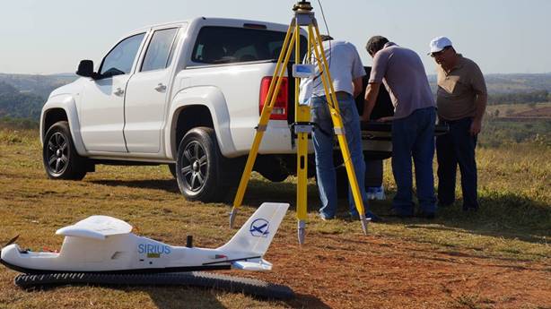
Capture: Take-off
-
The final flight plan is transmitted wirelessly to the aerial drone
-
It is launched safely from the hand or an additional catapult
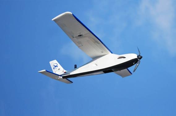
Capture: Flight
-
Follow the route live on your screen
-
Controlled by the autopilot
-
Follow the specified flight path and independently takes the required aerial photographs
Wind speeds of up to 50 km/h and gusts of up to 65 km/h, rain and temperatures of -20°C to + 45°C are no problems for the most UAVs
Capture: Landing
-
The drone lands completely automatically
To circumnavigate any obstacles, recommend controlling the drone with simple movements to the left and right, assisted by the autopilot but controlled manually
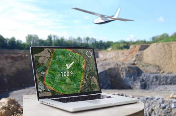
Capture: Data Checking
-
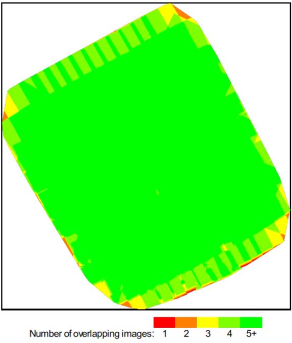
After the flight, rapidly calculates a quality preview to allow you to check the data for accuracy
-
You can see immediately if there are any gaps and whether the photographs of multiple flights were overlaid correctly or incorrectly
-
A quick and zoom able image preview also reveals details so you can verify whether the requested objects were recorded
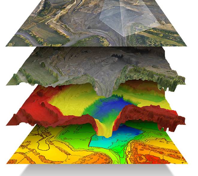
Process/Analysis
-
Various image processing programs and analysis tools can be integrated into the UAV desktop
-
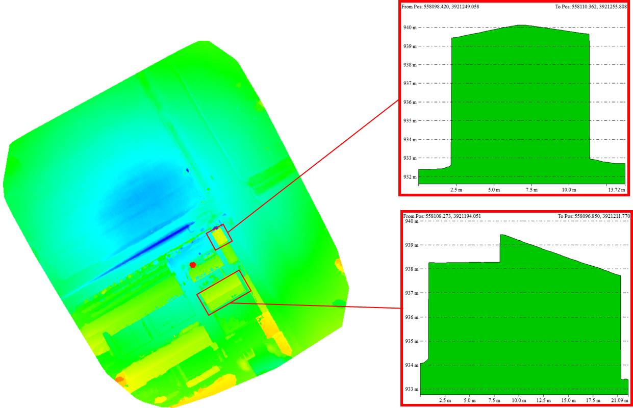
Use these programs to create highly accurate aerial images, orthophotos, point clouds, triangulations, terrain models, or fully textured 3D models without any manual intervention
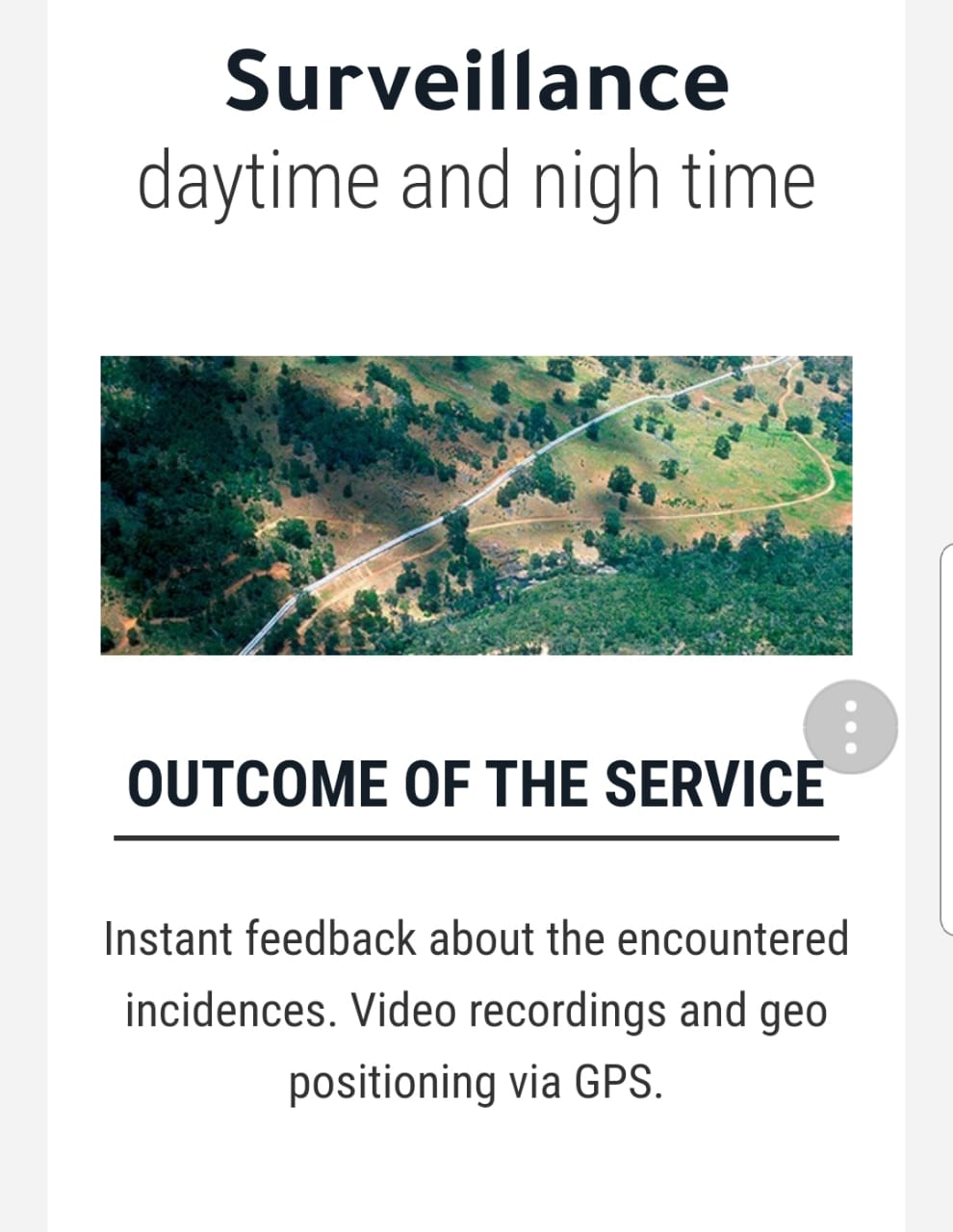
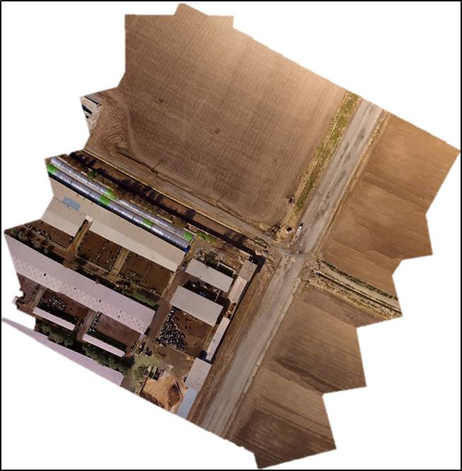
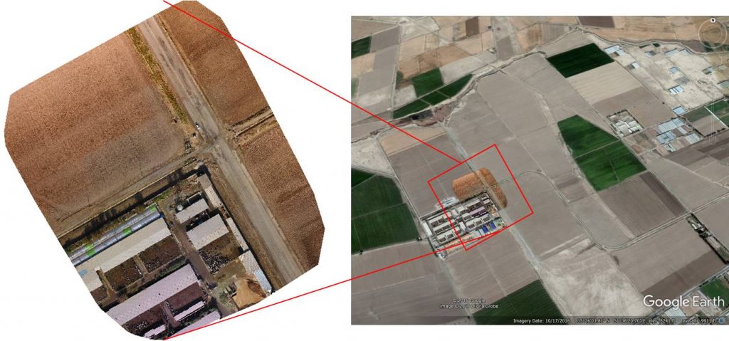
Sample of Completed Job
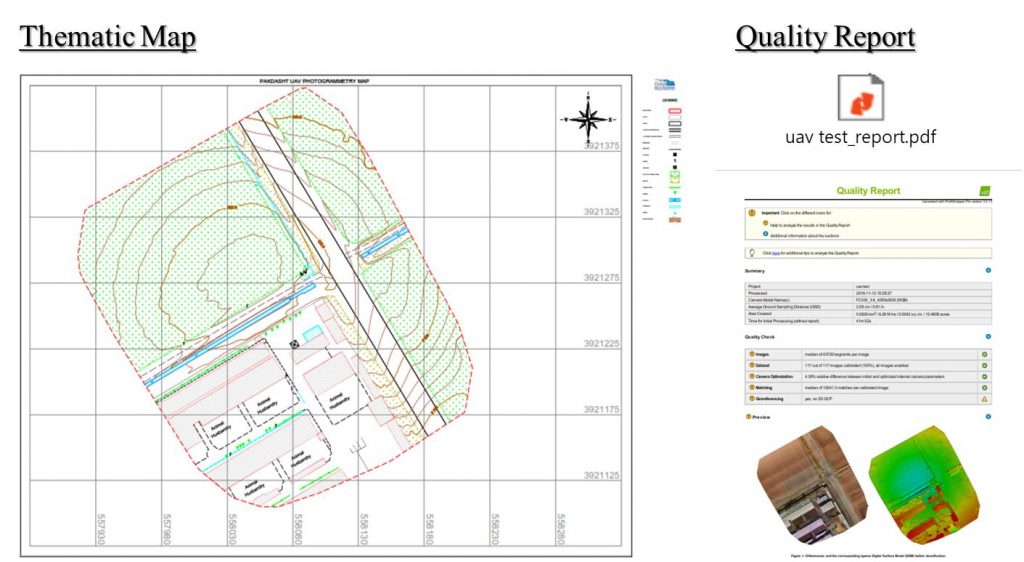
UAV Photogrammetry Test
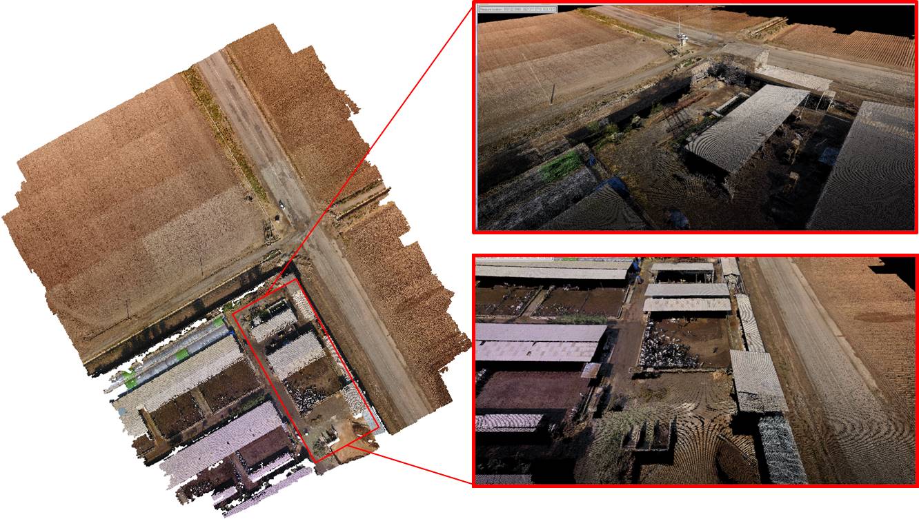
Sample of Completed Job
Sample of Completed Job